Alaskaseeker

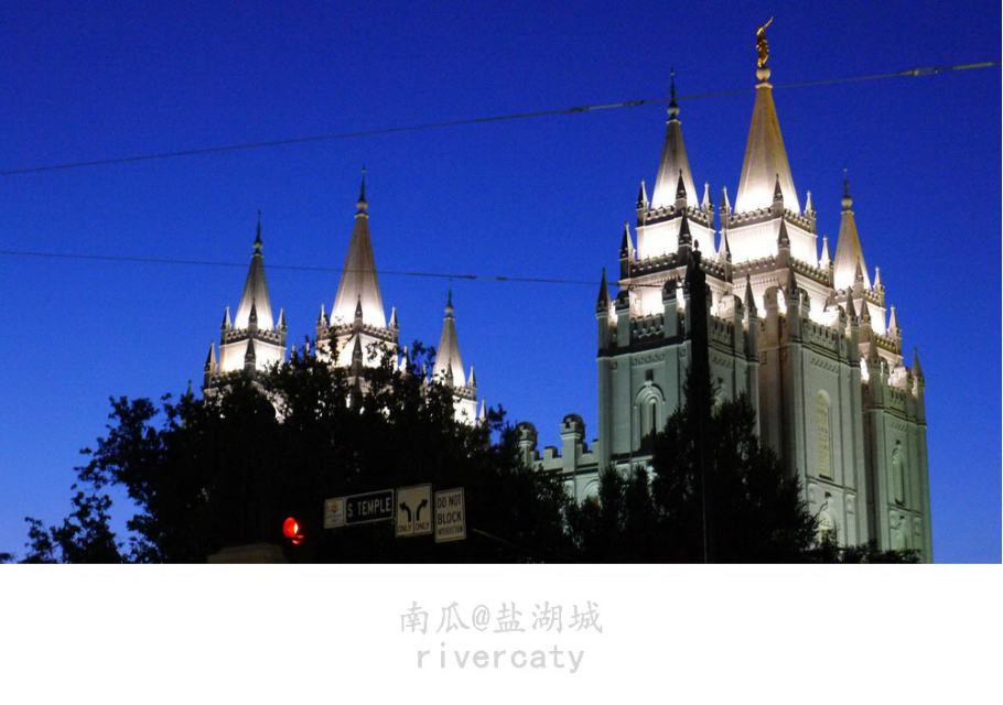
CAPITOL REEF NATIONAL PARK (UTAH’S HIDDEN BYWAYS IV)Ah, Capitol Reef National Park. It is one of the true hidden gems of the National Park system. It is also a beautiful, underutilized, un-crowded, superbly multi-colored park with many quiet corners to wander through. This park is, to any photographer, a place of joy, with its multi-colored, layer cake, rock formations and narrow washes. I have visited this park many times. I am drawn to this area as a moth to a flame. This park, for all of its beauty, is off the beaten track, thus receiving 10-20% of the traffic that a park like Zion National Park would get, which is fine to my way of thinking. The less people, the more solitude and a true experience of discovery can be attained. Since we fly in to Salt Lake City, my approach to the park is always Interstate 15 South to exit 188, across on UT SR50, and on to UT SR24 east through Torrey, Utah. We prefer to stay at the Capitol Reef Resort, which is about two miles west of the park on UT 24 and reasonably prices (reservations are needed). The view from the rear of the resort gives you a taste of the wonders to come within the park. I would recommend starting all activities within the park early, since the park can get very hot during the day. I would also recommend a hat and water, for it can very dry and sunny. If you are staying in Torrey, Utah, proceed east on Utah SR24 to the entrance to the park. You will see the sign on your right. Pay special attention to the cliffs on your left. These cliffs, when lit by the morning light, are a joy to behold. Your first schedules stop will be the Twin Rocks, which are large boulders sitting alone. This stop is worth a few minutes of your time. As you continue east, be sure to enjoy the cliffs on your left, making any photographic stop off road (i.e. do not stop on the road). Your next true stop will be Panorama Point and the Goosenecks Overlook. This area is worth investing about an hour of your time. There is a trail that will take you out to the Goosenecks, which are eroded, entrenched dry washes. I have found that afternoon lighting is better here. Since the trail has some twists and rises, be sure that you are fit before attempting this short hike. Continuing east, you will see Chimney Rock appearing on your left. There is also a parking lot on your left for stopping, and/or attempting the Chimney Rock Loop trail. This trail is a moderate/strenuous undertaking, so be sure that you have all necessary gear needed for this hike. Furthermore, this area can get wet and slick after a rain event, so be prepared for difficult terrain. From a photographers view, the lighting on Chimney Rock is better in the mid to late afternoon. The National Park Service has provided numerous turnouts on Utah 24 for the numerous stops that you will be making. Use them, linger, and enjoy the riot of color along this stretch of road. Views of a formation called the Castle will be appearing on your left. If you go over the little bridge just before the Fruita Visitors/Ranger facility, and immediately turn off the road to your left, you will come to a small parking area. Pull off and park. Get out of your vehicle and wander through the trees down to the Fremont River. The views of the Castle and the surrounding cliffs are a sight to behold. This is a morning stop for the best lighting. A few yards down UTAH24 will get you to the visitor’s center on your right. This is also a road junction. Stop at the visitor’s center and get any information needed for your visit, including a map and sound advice about any hike. There are also restrooms here! A right turn will take you onto the scenic drive, which leads to a wealth of fantastic scenery. Fruita itself was an old Mormon settlement that was absorbed into the park many years ago. The orchard still exists, along with additional period buildings. There is also a campground located here. If one continues south on the scenic drive, one will pass the HOODOOS, which are a geographic wonder. These are best photographed, and viewed, in afternoon lighting. As you continue south, marvel at the ever changing shapes and colors of the cliffs on your left, with their layering of various hues. You will soon encounter a turnoff on your left. This leads to the GRAND WASH and CASSIDY ARCH TRAILS. I would strongly recommend this area to anyone would wants to get off the beaten track and have an adventure. I would also recommend that either of these endeavors be pursued as an early morning activity, with lots of water. It can get very warm in here, especially in mid-summer. About a mile further on the Grand wash road will bring you to a small parking area with outhouses. This is your starting point for both hikes. Cassidy Arch is visible on the upper reaches of the cliffs from near the parking area. The trailhead is marked and the uphill trail can be strenuous, so make sure that you have the proper footgear and plenty of water. The view from the top is great. We love to walk the Grand Wash. DO NOT ATTEMPT THIS IF IT HAS RECENTLY RAINED OR IF STORMS ARE PENDING!!! You do not want to be caught here in the narrows during a flash flood. The trail is, essentially, the Grand Wash itself. The trail from the parking area will lead you down into the wash, wherein you will be following the course of the wash. Start early and bring water and a hat, since it can get very hot in here and parking is limited. If you have two cars, you can do a key swap if the other party starts off at the other end of the wash on UTAH SR24. The sights and grandeur of this area are immediately apparent as you make your way deeper into the Grand Wash, heading for the narrows. Take many pictures and soak in the wild beauty of the area. In addition, keep a weather eye on the sky. Enjoy every minute in the wash, for it is truly unique. It should be noted that most electronic communication devices do NOT function here. Do not depend on them in an emergency. You should be as self sufficient as possible, which includes a FIRST AID KIT. We now return you to your vehicle. Leave the GRAND WASH parking area and proceed to the road junction. Making a left will put you on the southbound scenic drive. Please note; as you continue along this route, you will encounter low points in the road. THESE ARE DRY WASH AREAS! DO NOT STOP HERE! Take every turnout that you can, enjoying the ever changing vistas on your left. The paved road will continue for some miles to a parking area (outhouses) and a gated, dirt road. If the gate is open and you have enough clearance on your vehicle, proceed into Capitol Gorge. This rough track terminates at a parking area containing some trailheads. About a mile before this terminus, there is a pullout and a short walking track with some fantastic views of the GOLDEN THRONE, which is best photographed in the afternoon light. At this point, you will have to double back to Fruita on the scenic drive. If you turn east at the junction with UTAH 24, you will reach the trailhead to HICKMAN BRIDGE. This is a morning, early afternoon hike. Since this is a popular hike, get here early in order to get a parking space. The hike is MODERATE with some elevation gain at the beginning. Carry enough water and have sensible footgear. You will be switch-backing up to the bridge. Take many images and stop to ponder the bridge and its formation. Continuing east out of the park will lead to another, all day, adventure. A couple of miles outside of the park, you will encounter a road (i.e. The Notom-Bullfrog Road) on your right. Be sure to have an adequate supply of water, as well as breakdown equipment, before attempting this road. The first few miles are paved and pass through some private ranchland. A few miles further, on your left, are some outstanding rock formations worth exploring. Farther up, the road turns to dirt/gravel. DO NOT ATTEMPT THIS ROAD IF IT HAS RECENTLY RAINED! You will soon encounter a split on the main track. KEEP TO THE RIGHT! The road is now paralleling the WATERPOCKET FOLD as you re-enter Capitol Reef NP. Enjoy the many and varied colors in this area. About 20-25 miles after starting this drive at UTAH SR24, you will encounter a junction on your right which will take you up some switchbacks up to the BURR TRAIL. TAKE THIS RIGHT TURN! The switchbacks will start about 0.5 miles from the junction and will take you out of the Strike Valley. THESE ARE SERIOUS SWITCHBACK REQUIRING LOW GEAR ON THIS UP-HILL. BE CAUTIOUS AND PROCCED AT A LOW RATE OF SPEED! At the top, there will be ample opportunity to do photography and enjoy the view down. You will encounter additional viewpoints above the switchbacks for additional exploration, as well as an Arch on you right skyline. Continuing along on the main track will get you to the entrance to the GRAND STAIRCASE-ESCALANTE NATIONAL MONUMENT and the PAVED BURR TRAIL, which is discussed in detail in my review entitled “THE BURR TRAIL (UTAH’S HIDDEN BYWAYS I) in TripAdvisor. You can continue on this great road to Boulder, Utah, make a right, and traverse UTAH SR12 into and over Dixie National Forest and on to Torrey, Utah. I would like to discuss one additional area; The South Desert area. This area contains the TEMPLES OF THE SUN AND MOON, ROCK CANDY MOUNTAIN, AS WELL AS THE UPPER CATHEDRAL VALLEY. This area is worth a day trip, with an experienced guide and a proper, four wheel drive vehicles. If you have the proper vehicle, a good map and equipment (WITH WATER), and are experienced in back country driving, go for it. You must register at the Visitors’ Center before attempting this trip. I would personally advise all to obtain a local, certified guide, with a proper vehicle. Furthermore, I would make these arrangements months before my arrival in this area. Enjoy your exploration of this wonderful park. There is a lot more here that I have not discussed, HAVE A SAFE TRIP! ALASKASEEKER